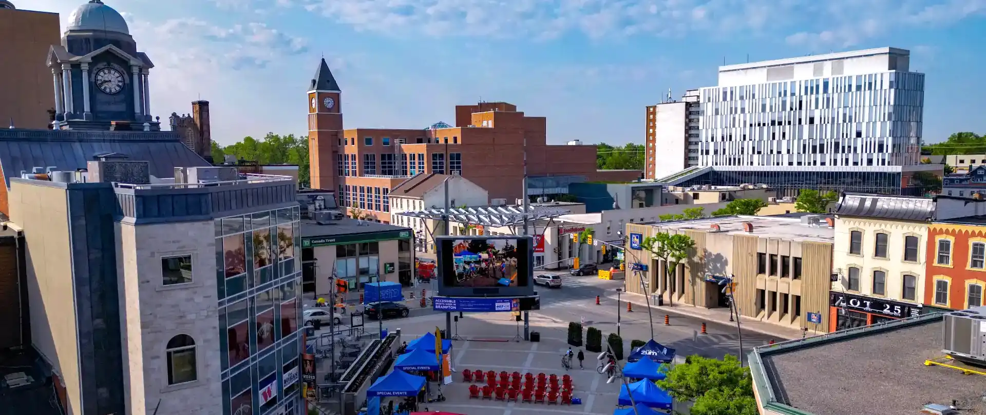
GTHA Ontario conservation lands, industrial, commercial, and residential aerial photography and videography for Toronto, Hamilton, Burlington, Oakville, Kitchener-Waterloo, Guelph, Georgetown, Mississauga, Brampton, Vaughan, Richmond Hill, and Markham.
| Service Types | Units | Cost |
|---|---|---|
| Real Estate Photography Videography | Property List Price Percent | 0.0395% |
| 2D Orthomosaic Maps | Low Resolution Per M2 | $0.00175 |
| 2D Orthomosaic Maps | Medium Resolution Per M2 | $0.00235 |
| 2D Orthomosaic Maps | High Resolution Per M2 | $0.00315 |
| 3D Orthophotography Models | Modeled Map Per M2 | $0.0125 |
| Ad Hoc Projects Cost | For Hire Per Hour | $125.00 |
| Ad Hoc Events and Construction | 4 Hour Time Block Rate | $350.00 |
| Ad Hoc Events and Construction | 8 Hour Time Block Rate | $600.00 |
| Travel Cost From L7G 4B1 | For Each Kilometre | $0.75 |
| Video Editing, Copywriting, Voiceover | Hourly Rate | $125.00 |
M2 = metres squared
AGL = Above ground Level
2D low resolution is flown 80 metres AGL.
2D medium resolution is flown 60 metres AGL.
2D high resolution is flown 40 metres AGL.
3D ortho models are low resolution.
This medium resolution 2D orthomosaic map sample is appromimately 50,000 M2
Video editing, including copywriting and voiceover, is provided as a value-added service. It not available as a standalone service for 3rd party media.
All-inclusive flat rates are negotiable for large multiday ad hoc projects. If you have a project in mind but aren't sure where to begin, call or email and let's discuss it.
CONSIDER THE FACTORS LISTED BELOW THEN CALL OR EMAIL FOR A COST QUOTE
Standard cost for drone services presents several challenges due to the diverse nature of applications and the variables involved in each project. Cost quotes listed in the table above are typical ESTIMATES ONLY. Some key factors are explained as follows:
Drone services range from basic aerial photography to complex tasks like surveying, mapping, and inspections. Each type of service demands different skill sets, equipment, and time, making it difficult to establish a one-size-fits-all cost.
Projects often vary in scale and complexity. A small site survey may take a few hours, while large land development or construction projects can require days of flying and processing data. Pricing needs to reflect these variations in effort and time.
Cost also fluctuates based on location due to factors like travel distance and local regulations. Drone operations may need special permits in some areas or for some events, which can add to the overall cost.
Drone operations must adhere to local and national regulations, such as airspace restrictions and licensing requirements for pilots. Compliance cost, including insurance and certifications, are often project-specific and can be difficult to predict.
Many drone services involve post-flight data processing, such as creating orthomosaic maps or 3D models. The time and expertise required for data processing varies widely, making it challenging to offer fixed prices.
Weather and other external factors can impact drone flights, potentially requiring rescheduling or additional time. This unpredictability complicates pricing models that depend on hourly rates.
These variables make it difficult to set consistent and universally applicable pricing, leading to a variable total for similar services depending on the specifics of each job.
Please do not hesitate to reach out to discuss your project requirements to determine if my services meet your need and fall within your budget range.